Our Academic Role
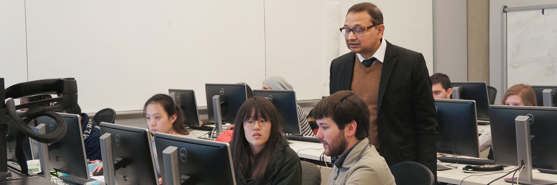
Each academic semester, Center for Spatial Planning Analytics and Visualization faculty and research personnel teach graduate-level GIS courses offered through the School of City and Regional Planning at the College of Design as part of the master’s program. The courses cover introductory concepts in GIS, fundamental spatial concepts, advanced geospatial analysis techniques, modeling, image processing, remote sensing, and image processing techniques.
The Center’s education and training component continues to grow. As Center Director Subhro Guhathakurta wrote in one of his annual reviews, “Our curricular offerings through the School of City and Regional Planning continue to receive very favorable reviews. The class sizes have exploded due to the increasing interest in GIS among Georgia Tech students.”
Our involvement in the GIS curriculum expanded with the MS-GIST program, which recruited its first class for Fall 2013. As a result, our researchers teach several of the required courses in the MS-GIST program.
"As we adjust our efforts to meet demands for GIS education on campus, we are also being asked to provide training across continents. We have helped 17 recruits for Abu Dhabi Police Force as well as a number of instructors and teachers in Afghanistan," Guhathakurta wrote in his review.